
The University offers Diplomas, Undergraduate Degrees, Postgraduate Degrees and Doctoral programs in different disciplines.
Click HereMy Campus life is the overall aspect of being a student; meaning that it goes beyond what we learn in the classroom.
Click HereAll the latest activities at the Jharkhand Rai University Campus captured by the Media Houses, catch a glimpse here…
Click HereCatch a glimpse of the Campus life at Jharkhand Rai University, with all latest news and upcoming events details
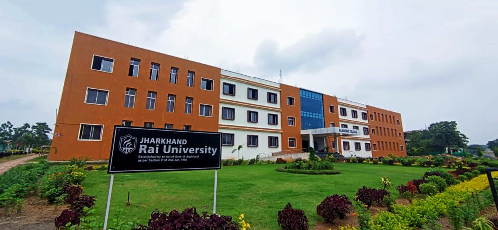
Click HereJRU came into existence in 2012 and since then it has shown a remarkable growth in terms of innovation and creativity in education.
Click HereUniversity has started with a mission of strengthening the linkage between the alumni and Jharkhand Rai University
Click HerePlus Subjects
Plus Students
Modern Lab
Awards
Get degree in a recognized professional Programs and applied fields of study by exploring the best of academics at Jharkhand Rai University, Ranchi.
Read MoreWe at JRU understand the challenges that the students face, due to lack of proper resources, other issues which are consistently acting against the education sector.
Read MoreJharkhand Rai University's state-of-the-art library is built to International standards, and digitalized. It is well equipped with Internet browsing facility and a reading room.
Read MoreJharkhand Rai University came into existence in 2012 and since then it has shown a remarkable growth in terms of innovation and creativity in education.
Read MoreJharkhand Rai University continues to be at the forefront of innovation and adaptation to the digital world in the education sector.
Read MoreJRU now offers competitive coaching classes for Govt. job (Railway, SSC, Bank, Etc.) NET & GATE
Read MoreJRU is a wonderful place not only for studying and gaining knowledge, but also for interacting with new people from different backgrounds. JRU has not only helped us in being ready for the competitive world but also helped us in understanding our strength and our weakness.

B.Tech-Mining
JRU has helped me to develop a positive attitude towards my studies and discover more about myself. Teachers are very caring and interested in students’ well-being. They make sure every class is fun, educational and interactive.

B.Sc. Agriculture
The first thing I noticed here at JRU was the bonding between faculty and the university students. They treat students with utmost understanding. The university conducts many events inside the campus which make our lives informative and enjoyable.

Diploma in Engg - Mining
JRU has enhanced my life in more ways than one. The academic rigor and extra-curricular activities to which we are exposed are widening my intellectual horizons, polishing my managerial skills and shaping my personality to be relevant to today`s corporate world. I thank CMC sincerely for launching my career with ‘M/S Raisons Udyog’.

MBA
At Jharkhand Rai University, I have experienced a very friendly environment. The faculty members are well qualified. The different activities apart from classroom lectures enhance our skills and talents. My placement has been a result of these efforts.

MBA
My experience at JRU, has taught me to be vocal on right issues . A friendly environment here has helped me grow on my talents and skills. I appreciate the helpful attitude of the faculty and feel proud to be a student of this University. Their help and guidance has given me a great start with my campus placement.

MBA
As a student of JRU, I am nourished with discipline and education. It gives me a platform to develop my skills and thus I can proudly face competition in future. I am happy my future is being nurtured in the right direction.

B.Tech-Civil
Experiences at JRU have been wonderful and enriching. The campus gives a homely feeling. JRU campus has acted as a source of motivation for me, and consists of all the necessary amenities which are useful for overall development. Thank You JRU!!!

B.Sc. Agriculture